


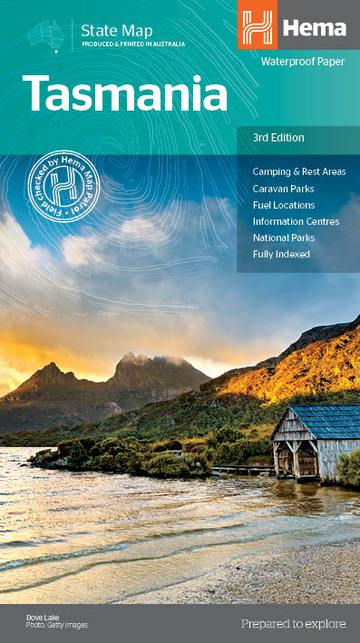

A fully indexed state map of Tasmania (TAS) at a scale of 1:480,000. Marked on the mapping are national parks, 24-hour fuel as well as camping and rest areas. On the reverse are regional maps of Launceston and Hobart, as well as CBD maps of Hobart, Launceston, Devonport and Burnie.
Key Features
- Camping & Rest Areas
- Caravan Parks
- Fuel Locations
- Information Centres
- National parks
- Fully indexed
Key Specifications
Edition: 3rd
Publication Date: 20/10/14
Scale: 1:480,000
Folded size (WxHxD): 140mm X 250mm x 3mm
Flat size (WxH): 700mm X 1000mm
Weight: 0.09kgs
HEMA TASMANIA STATE MAP
SKU: 9781865009728
$15.95Price